
Wilkes-Barre Neighbors in Block Records
A block lookup begins with land records because they are keyed to a place. The public parcel map can orient the search, the Recorder can document a dated transfer, and historic directories can put a listed household at an address in a particular year. These are separate forms of evidence. A map relationship means parcels are adjacent. It does not prove that every owner or listed name is a current neighbor.
| Source | What it shows about a block | Access |
|---|---|---|
| Free GIS map | Adjacent parcel geometry, PIN, owner, assessed value, and street context | Map browse, address/PIN search, or parcel click |
| Subscription GIS | Parcels within a radius, plus expanded parcel layers | Paid account and selected-radius tools |
| Recorder deed index | Dated owner and transaction trail tied to legal description | Party-record index and copy channels |
| Assessment card | Parcel-specific owner, value, and county record data | Request for each PIN |
| City permit or agenda file | Address-specific project or public-proceeding context | Focused request or custodian route |
| Historic street index | Listed past household where a directory volume includes an index | Library or archive, volume-specific |
| Community contact | Voluntary civic connection route | Organization invitation, not a roster |
Keep “owner of record,” “mailing address,” and “occupant” separate. The free county map advertises owner, PIN, and assessed-value information. It is not a household roster. A mailing address in the paid layer may be a post-office box, agent, estate, business, or owner elsewhere. Treat every name as a record-specific fact instead of labeling it a current resident.
Map a Wilkes-Barre Block From One Parcel
The county's documented path is address or PIN, then parcel, then dated property evidence. The free viewer accepts a structure number and street name with an abbreviated suffix. It also permits a partial street or PIN search, a map click, and an Advanced Search path. The PIN is the most useful bridge because its segments identify municipality, map, block, lot, and improvement.
- Enter the target Wilkes-Barre address or PIN in the county GIS and record the selected parcel's PIN and map export date.
- Zoom out and click each polygon that is visibly adjacent. Record only the public parcel facts returned for that specific PIN.
- For a dated ownership question, search the owner name and legal description through the Recorder's index, then retain the document date and reference.
- Request an Assessment Office card for a particular PIN when the county record card is needed, rather than inferring more from a map screen.
- For a full named-street record trail, use the Wilkes-Barre streets lookup, which follows the address chain beyond the immediate block.
This process flow keeps the claim proportional: address to PIN, PIN to adjacent parcel, parcel to dated owner record. It does not turn proximity into a statement about a household, friendship, or current residence. Note: Preserve the map export date because parcel lines, imagery, and ownership fields can change.
Luzerne County did not provide a public block roster in the sources reviewed. The documented approach remains parcel by parcel: use the free map for orientation, request an Assessment card for the particular PIN when needed, and use a Recorder document only for the transaction it records. Paid GIS can set a radius around a selected parcel, but that geographic filter still requires an individual check of every result. It is a tool for organizing property facts, not a label for the people around an address.
Wilkes-Barre GIS Tools for Nearby Parcels
Luzerne County GIS/Mapping portals make a clear free-versus-paid distinction. The free viewer offers parcel, owner, assessed-value, improvement, street, and 2024 aerial layers with query and measurement tools. The paid portal adds owner mailing address, deed book/page, historical imagery, drawing and selection tools, and county radius functions. “Search by Property” searches parcels within a radius of a selected parcel, while “Select Parcels” works with chosen map features.
| Official county option | Useful block evidence | Boundary |
|---|---|---|
| Free GIS | PIN, owner, assessed values, parcel context, and map tools | Assessment-purpose data, not a survey or household list |
| Paid GIS | Radius search, deed reference, mailing-address field, and added layers | Subscription required; mailing field does not establish occupancy |
| Recorder index | Party, document type, date, and legal-description trail | Party-indexed records, not an adjacent-person display |
The county subscription GIS portal documents this paid-access route. Its published access terms make the radius tools a paid option, not a free map feature.
Use a radius only to identify parcels that the county tool places nearby, then inspect each parcel individually and note the map date and selected setting.
What Wilkes-Barre Neighbor Parcels Show
The GIS result inventory includes GIS PIN, long PIN, owner, “Care Of,” land, building, and total assessed values, municipality code/name, and export date. Those labels show why a parcel is valuable for block research. They do not reveal every household member, a phone number, utility account, or delivery detail. The county itself says its map data are for assessment purposes, not engineering or survey work.
Move from a neighboring PIN to the Recorder of Deeds only when a dated transfer or legal description matters. In Landex, the owner name acts as the party bridge, and the deed may carry a prior book/page recital. Match the legal description before joining documents. A deed can omit a full street address, and one owner may appear through an estate, trust, company, or representative.
The public Treasurer tax screen is a separate county route that accepts last or business name, first name or initial, parcel number, and address. It asks for at least part of a criterion and warns that less information produces more results. A broad result is a lead to narrow with the PIN and document date, not a finished neighbor record.
For a project or public proceeding at one address, Wilkes-Barre Building Code Enforcement and City Clerk records are distinct from the county parcel trail. No official public permit or code-case search was located. A focused request can give the address, date span, and record type, such as a permit, inspection, code file, agenda, or minutes. Those files may date work or a public action, but they do not identify every person at the property.
Wilkes-Barre Neighbors in Historic Street Indexes
For a past block, use the local directories only when an edition includes a street index. LCHS reports Wilkes-Barre city directories from 1871 through 2004 and says some volumes have street indexes. Select the relevant year, browse the address or block in the index, then check the alphabetical listing and an adjacent year. An entry can list a household head, spouse, occupation, work address, home address, or widow notation, but coverage varies by volume.
Osterhout's directory run begins in 1884 and is not comprehensive. The distinction matters when a block appears to go quiet. Compare the actual year on the volume, then pair the listing with a parcel, deed, or census date. The Wilkes-Barre city directory collections provide the fuller collection and entry-reading method; here the directory is one dated layer in a block history.
Wilkes-Barre Block Maps Need a Date
Historic maps add time and physical context to a block. LCHS lists Wilkes-Barre ward maps from 1882, 1894, and 1904, plus a 1933 Sturdevant fire-insurance atlas and early-to-mid-1900s Sanborn material. The Library of Congress makes a 1910-February 1950 Wilkes-Barre Sanborn volume available online. It contains 102 sheets, so one sheet should never stand for the whole city.
Compare the map edition with the current parcel view and directory year. A structure, road, or lot line may have changed. That evidence can explain why two address forms are difficult to match, but it cannot identify neighbors by itself. The free viewer's 2024 aerial layer and the subscription portal's older imagery are equally dated references, not timeless proof.
Wilkes-Barre Neighbor Community Contacts
Community organizations offer a different kind of neighborhood connection. The one verified local route is the Downtown Residents Association, which serves the city's 7th and 13th Wards and invites people to join its mailing list. Research found no public member roster and no authoritative citywide inventory of every association or HOA. That gap should be left visible rather than filled with assumed neighborhood contacts.
Downtown Residents Association
Serves the 7th and 13th Wards; generally monthly meetings; active since 2001 according to its page.
Mailing-list and contact route
info@wilkesbarredra.com
The association's Downtown Residents Association page documents the community-contact route.
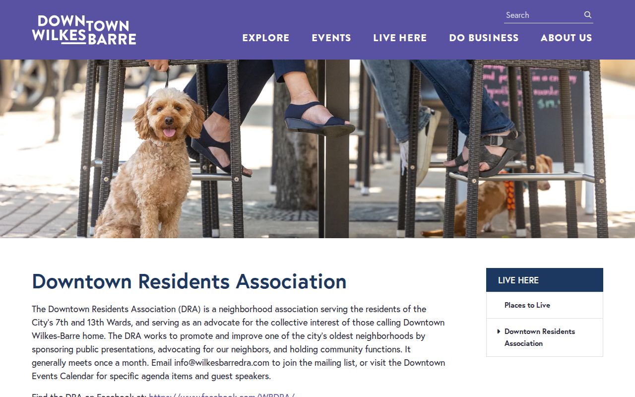
Use this route to opt into a civic contact channel. It does not identify residents or provide a member directory.
Privacy Boundaries for Wilkes-Barre Neighbors
Voter information has a regulated county and state request route, not a public neighborhood display. Luzerne's form includes a Street List category, but its required affirmation limits use to election, political activity, and law-enforcement purposes and prohibits Internet publication. Pennsylvania's self-service Voter Services tool is for a voter checking registration status and polling place, not browsing a block. Do not republish a requested list or use it to expose a neighbor.
| Source type | What it is good for | Why it needs limits |
|---|---|---|
| Official parcel and deed records | Checking a parcel, recorded transaction, date, or legal description | They identify record relationships, not every current occupant |
| Commercial neighbor tools | A possible starting lead to verify independently | May be inaccurate, stale, incomplete, or unclear about its source |
| Regulated voter lists | Authorized official list process only | Statutory use and publication restrictions apply |
Lawful use. Use Wilkes-Barre neighbor records for respectful personal, civic, or property context. Pennsylvania prohibits stalking and harassment, and protected address information must not be pursued or exposed.
Pennsylvania's Address Confidentiality Program provides eligible survivors a substitute address in listed government records. A missing name, redaction, or mismatch may be a lawful safety protection or a timing issue. The right response is to contact the record custodian for correction or access guidance, not to make a personal inference.